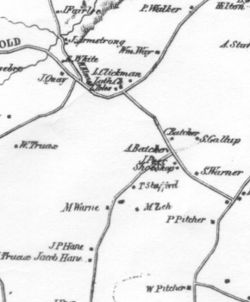
1854 map of Berne
Revision as of 01:55, 30 September 2012 by JElberfeld (talk | contribs) (Created page with "In 1854 Jay Gould of Roxbury, NY made a large map that included all of the four hilltowns. It showed the location of each landholder. This image is a portion from the larger map...")
